Image source: https://theenterpriseworld.com/drone-mapping-technology/
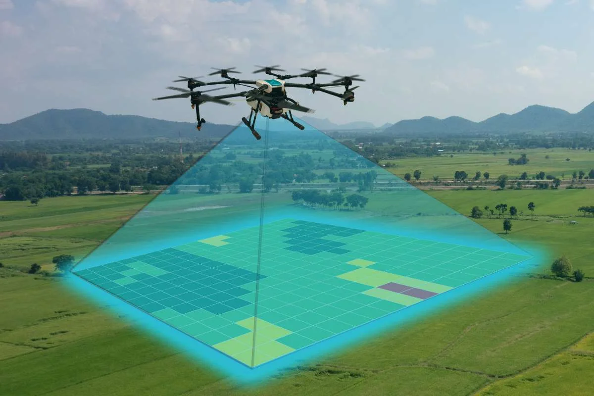
Drone mapping is the process of using UAVs (Unmanned Aerial Vehicles) to capture aerial imagery and convert it into detailed maps, 3D models, and geospatial data. By flying over an area and taking overlapping photos, UAVs, paired with mapping software, can generate high-resolution orthomosaics, elevation models, and terrain analyses that are accurate and cost-effective.
The Caribbean region, with its diverse landscapes and vulnerability to climate events, is uniquely positioned to benefit from drone mapping. Here are key areas where it’s already making an impact:
Disaster Risk Management: In Jamaica, programs like Pegasus train communities to use drones for post-hurricane damage assessment, flood mapping, and emergency planning.
Environmental Monitoring: In Barbados, researchers use drones to track sargassum seaweed influxes, helping mitigate its impact on tourism and fisheries.
Coastal Resilience: Participatory mapping projects in Trinidad and Tobago have documented erosion, sea-level rise, and infrastructure vulnerabilities along coastlines.
Agriculture & Land Use: UAVs help farmers monitor crop health, optimize irrigation, and plan land use more efficiently—especially in remote or mountainous areas.
Urban Planning & Infrastructure: We are not aware of any smart city initiative in our region, but UAVs can be used to map informal settlements, guiding road development, and improving public utilities.
Traditional mapping methods are often expensive and slow. UAV mapping offers:
Speed – Rapid data collection in hours, not weeks.
Accessibility – Reach to remote or hazardous areas.
Community Empowerment – Local training programs build technical capacity and ownership.
As Caribbean nations face the future, drone mapping stands out as a key tool for bridging data gaps and can help to shape our region’s future, looking from the sky down.


