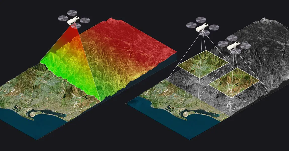
In our region every year we brace for hurricanes and its oft associated disaster, flooding. Along with earthquakes, we face urgent challenges in disaster preparedness and recovery. Mapping and photogrammetry, powered by UAVs and satellite imagery, are emerging as tools than can enhance response efforts and build resilience.
Photogrammetry is the science of extracting accurate measurements and 3D models from photographs. When combined with drone mapping, it enables rapid, high-resolution assessments of terrain, infrastructure, and damage zones—critical for emergency planning and post-disaster recovery.
In our region applications and potential use includes:
- Rapid Damage Surveys – After Hurricane Fiona, the Dominican Republic used drones to assess over 8,000 homes, data that streamlined rebuilding efforts.
- Improved Search & Rescue – Detailed elevation maps guide teams through debris and terrain.
- Infrastructure Monitoring – Identifies weakened roads, bridges, and buildings to prevent secondary disasters.
- Community Training – When locals learn drone mapping, they become frontline analysts, not just observers.
Investing in photogrammetry isn’t just about tech, it’s about saving lives, protecting livelihoods, and building resilience. As climate threats grow more intense, these tools aren’t optional, they’re essential.


