Whether you’re a beginner exploring UAVs for the first time or a professional seeking to expand your skills, our one-hour virtual training delivers expert insights and actionable knowledge. Stay connected on Facebook.
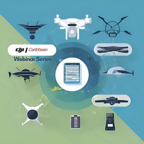
Drones 101: Getting started with UAV flight in the Caribbean
Join us for a beginner-friendly session that demystifies drone technology, covers key regulations, and walks you through your first safe and legal flight. Whether you’re flying for fun or prepping for commercial use, this webinar gets you airborne with confidence.
From hobbyist to pro: building your UAV career in agriculture and emergency response
Transform your passion into purpose! Discover how drones are revolutionising farming and disaster recovery across the region. Learn what skills you need, how to get certified, and where the real opportunities lie. A must-attend for aspiring UAV professionals.
BVLOS and beyond: understanding advanced UAV operations
Ready to level up? Learn the fundamentals of Beyond Visual Line of Sight (BVLOS) operations, risk management, and the technology powering long-range UAV missions. Ideal for seasoned operators seeking to explore the next frontier in drone innovation.
UAV Compliance Made Simple: navigating Caribbean UAV regulations
Don’t get grounded by red tape. This focused session breaks down country-specific UAV rules, registration processes, and must-know tips for staying compliant in Trinidad & Tobago, Guyana, Suriname, and beyond.
Book Flight Training
Build your UAV flight experience while safeguarding your equipment investment. Our training program is designed for both novice pilots and seasoned professionals.